Industries
HOW COULD YOUR INDUSTRY BENEFIT FROM DRONE GEOX’S SERVICES?
Drones can fly at a much lower altitude than planes, capturing higher resolution images. With surveyed land control points you can have an aerial perspective of your entire project. Drone captured images can be taken in less than a few hours or days depending on the size of the project.
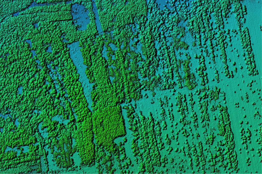
We use DJI’s Matrice 300RTK drone and D-RTK 2, a high-precision GNSS receiver that supports all major global satellite navigation systems, providing real-time differential corrections that generate centimeter level positioning data for improved relative accuracy.
HOW COULD YOUR INDUSTRY BENEFIT FROM DRONE GEOX’S SERVICES?
Unlike piloted aircraft or satellite imagery, drones can fly at a much lower altitude. Being closer to the ground makes the generation of high-resolution, high-accuracy data much faster, less expensive, and independent of atmospheric conditions such as cloud cover.
Capturing topographic data with a drone is up to five times faster than land-based methods and requires less human power. With RTK geo-tagging, you also save time, as placing numerous GCPs is no longer necessary.

WHAT INDUSTRIES DOES DRONE GEOX SPECIALIZE IN SERVING?
2D/3D Aerial Images
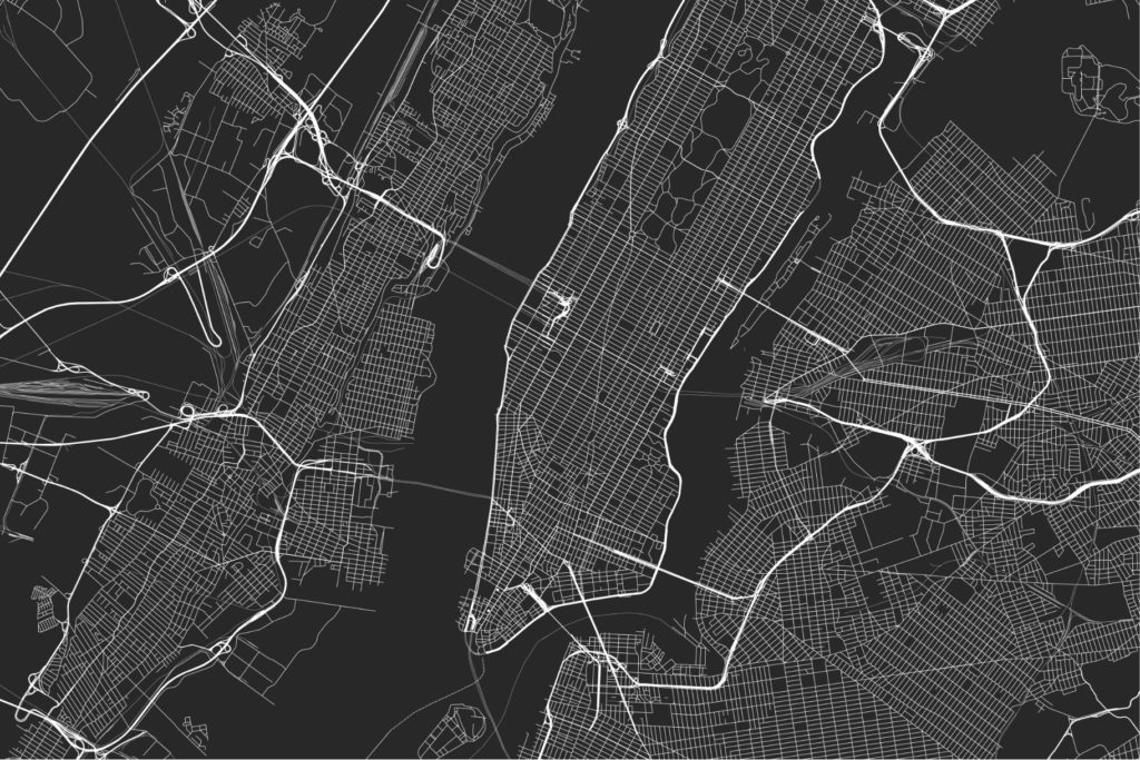
2D and 3D aerial imagery allow you to quote with greater accuracy, plan land development, construction projects, and track progress of your project. Industries use them to plan challenging buildings, factories, and developments before beginning any project and follow them to completion without having to remain on site.
Engineering Support
Structural engineering projects require aerial images to plan construction phases, from clearing the land to planning each phase of the project and being able to remotely check progress. Aerial images provide an invaluable tool in order to communicate effectively how to achieve your goals and avoid costly mistakes.
Construction and Architecture
Drone construction industry services like monitoring, inspection, site photography, and time-lapse. Delivering zeroed-in architectural details, Drone Geox documents dimensions, identifies clash detection, pre-design, and prefabrication analysis.

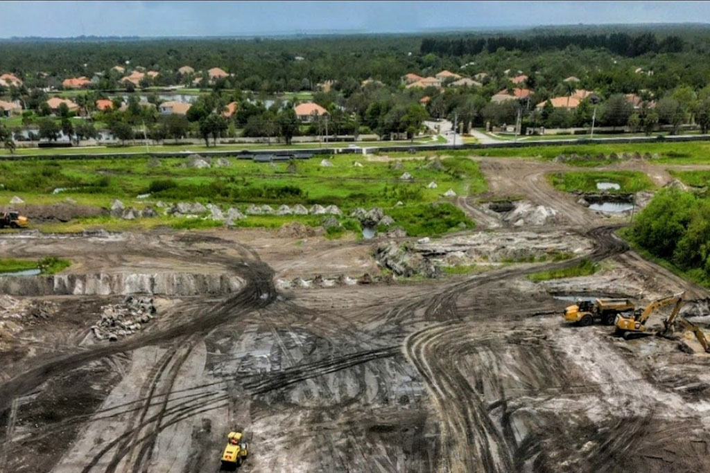
Land Development
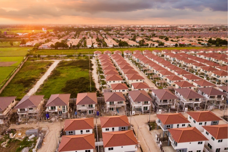
Aerial images will save time, cut costs, and produce virtual models for stunning presentations, that will simplify every aspect of your development. Orthomosaic images, Photogrammetry images and LIDAR 3D models are convenient and can be produced in less than 48 hours. (Depending on the size of the parcels) It is a revolutionary way to communicate with speed, clarity and a greater level of design.
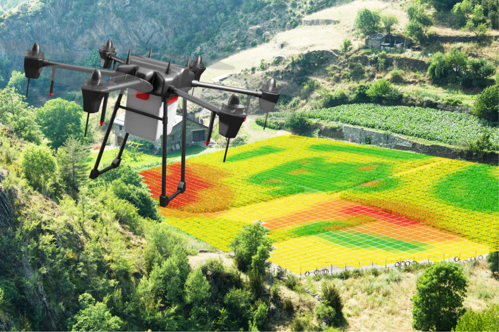
Agriculture
Using Drone Geox’s technology, it’s easy to monitor soil conditions for crops and livestock health, letting you take preventative action. Detect pests and predators across vast areas with an unobstructed aerial view of your valued agricultural resources.
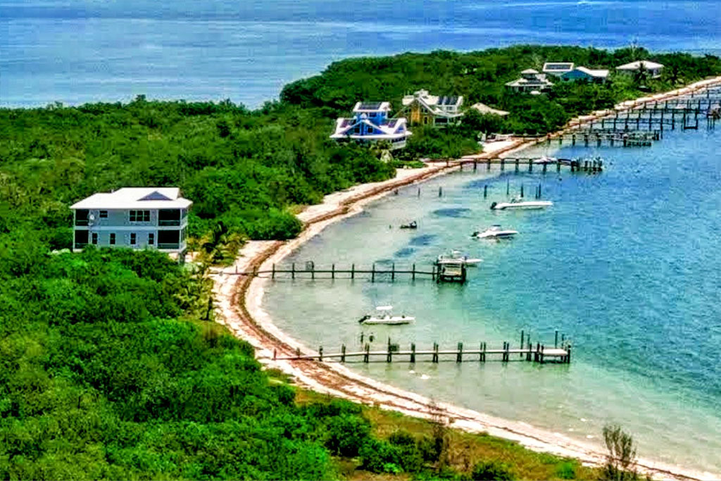
Real Estate
Real Estate has been at the commercial forefront of drone photography and video presentations. A well made walkthrough and aerial perspective draws more clients than generic photographs. Potential clients are attracted to this artistic perspective of their dream home. An image is sometimes the only incentive that a potential client needs to make the final decision to make an investment.
Photography Price List
**A cancelation fee of $75 will be charged to any appointment that is cancelled with less than 24 hours’ notice.
Commercial Real Estate Photography
- $250 per hour 1hr on-site minimum
- 25-40 Interior and Exterior Premium Images
- 6-10 Aerial Images
- Total number of photos depends on property size.
- Premium Retouching
- MLS Ready Sizes
- 24 hr Online Delivery
Basic Residential Package $199
- 25-40 Interior and Exterior Premium Marketing Images
- Premium Retouching
- MLS Ready Sizes
- 24 hr Online Delivery
Residential Photo Package + Aerial Photography $250
- 35-45 Interior and Exterior Premium Marketing Images
- 6-8 Aerial Images
- Premium Retouching
- MLS Ready Sizes
- 24 hr Online Delivery
Marketing Package Interior + Exterior Photos + Aerial Images and 1 min Video $450
- 30-40 Interior and Exterior Premium Marketing Images
- 8-10 Aerial Images
- 1 Min Aerial Video (Music Optional)
- Premium Retouching
- MLS Ready Sizes
- 24-48 hr Online Delivery
AIRBNB/VRBO/RENTALS $250
- 25 Interior and Exterior Premium Images
- 4-6 Aerial Images
- Premium Retouching
- MLS Ready Sizes
- 24 hr Online Delivery
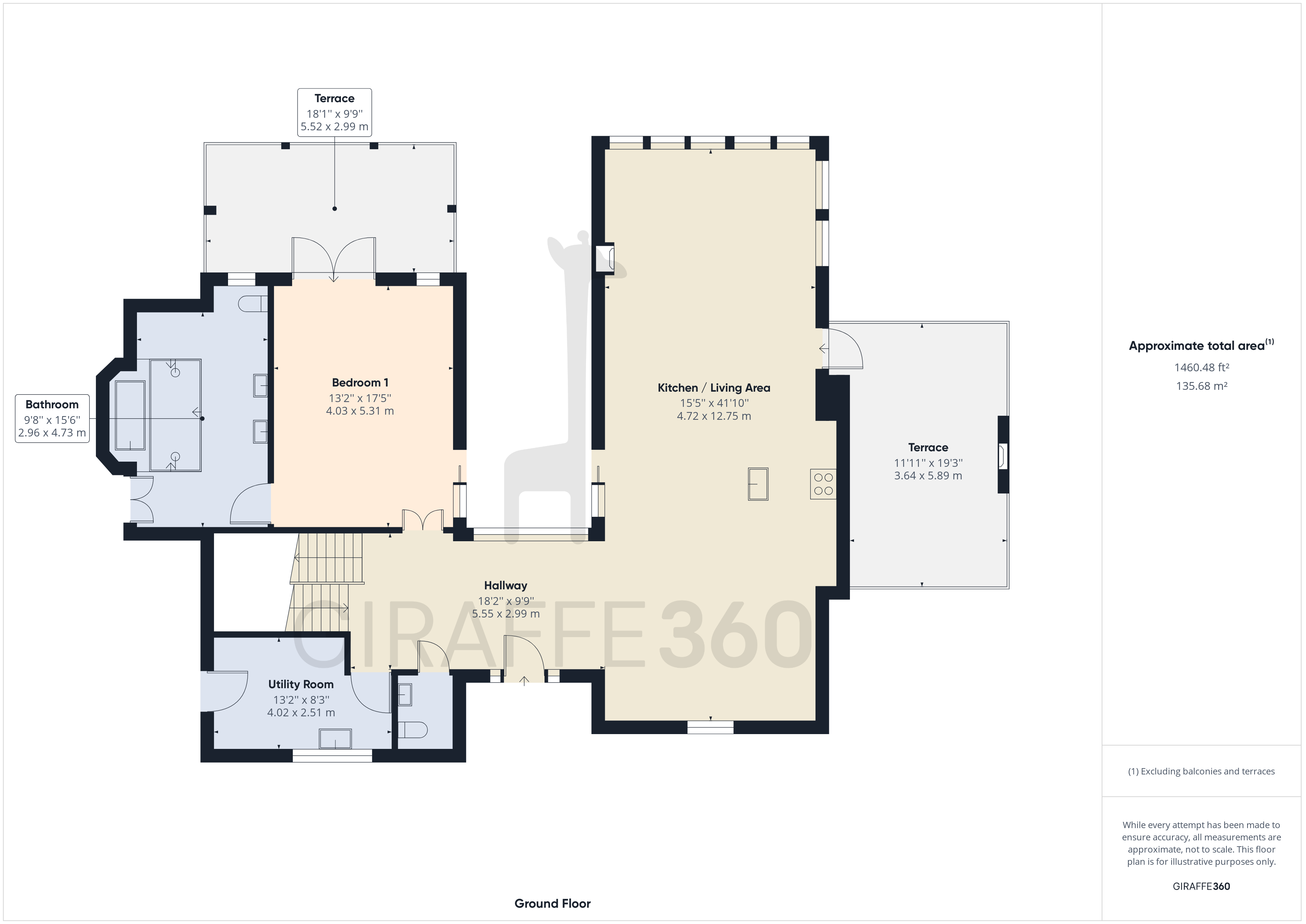
* Virtual 360 Real Estate Tour with Floor Plan $250 ($100 when added to photo package)
* Floor Plans $50 when added to photo package
* LIDAR, Mapping, Storm Damage Documentation, and Construction Progress Photography please call for quotes. 321-720-8913


