Delivering Outstanding Results Through Problem-Solving Drone Services
Drone Geox is proud to offer aerial mapping, LiDAR, photography, videography, and virtual staging services.
Delivering Outstanding Results Through Problem-Solving Drone Services
Drone Geox is proud to offer aerial mapping, LiDAR, photography, videography, and virtual staging services.

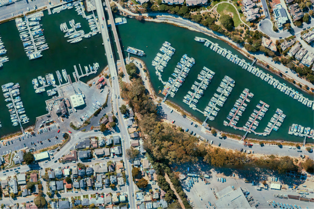
Orthoimosaic
- Orthomosaics / Photogrammetry
- 2D/ 3D images/ Terrestrial Imaging/ Topographic Mapping
Orthomosaics are the output from a process of overlapping photos (from a drone or aerial camera) that are stitched together with distortions removed to create a complete and continuous image representation or map of a portion of the earth.
Drone photogrammetry uses a drone to capture a large number of two-dimensional images over a geographic area and compiles them into accurate three-dimensional terrain models and orthomosaic maps with specialized photogrammetry software.
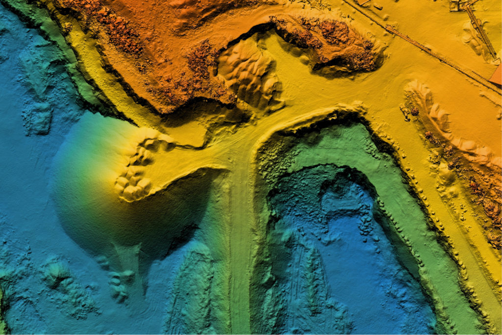
LIDAR
- LiDAR Point Cloud Data
An acronym for light detection and ranging, LiDAR software and drones are powerful tools for a wide range of industries, offering otherwise impossible to obtain virtual models. We can provide 240,000 pts/s on a single scan, and generate true-color point cloud models.
In conjunction with field surveyors we can optimize their mapping services.

")
")


ps")


")
")
")
ps (1)")
")

")


